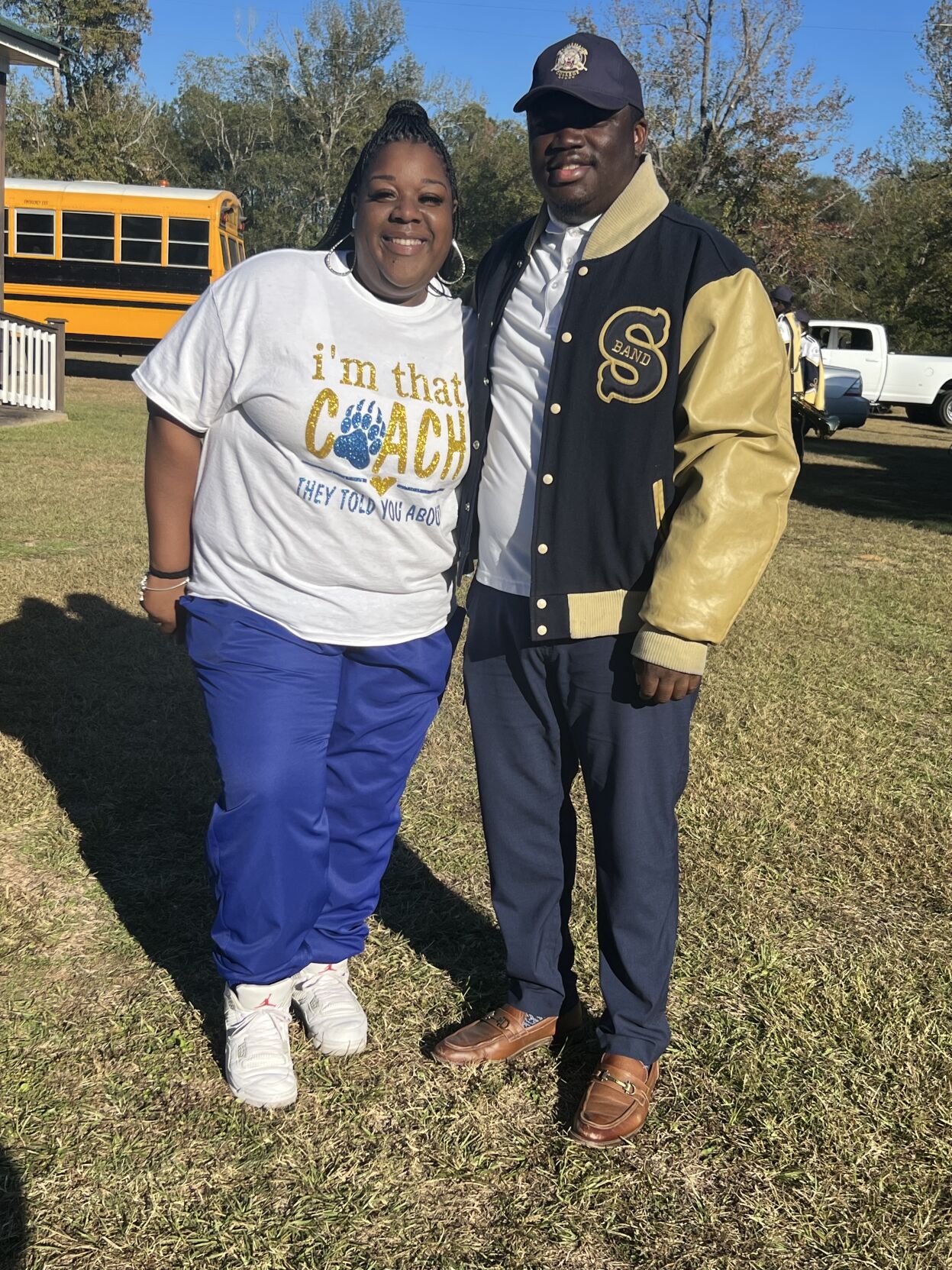
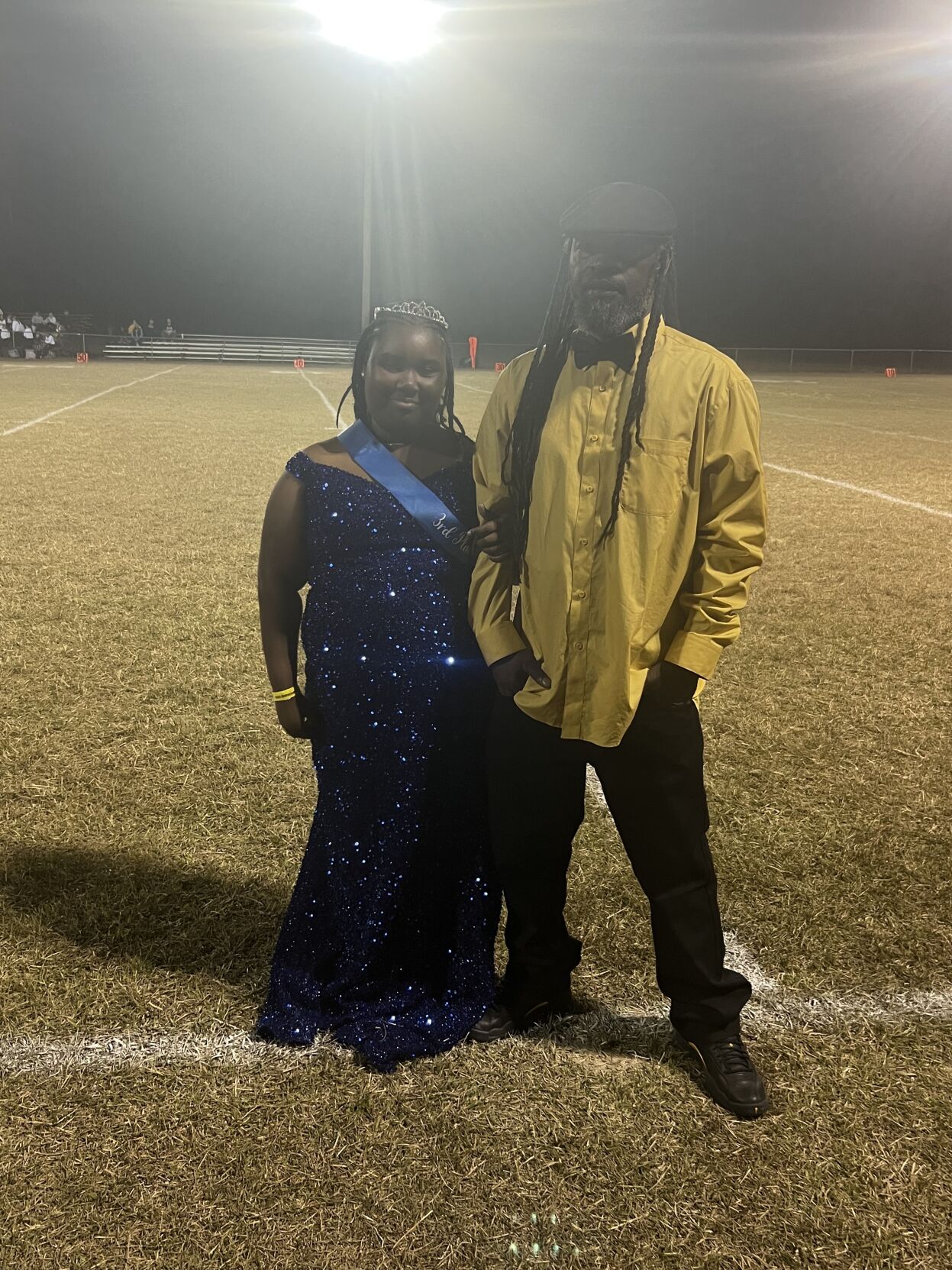
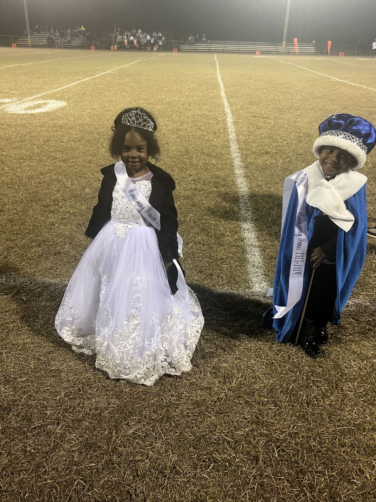
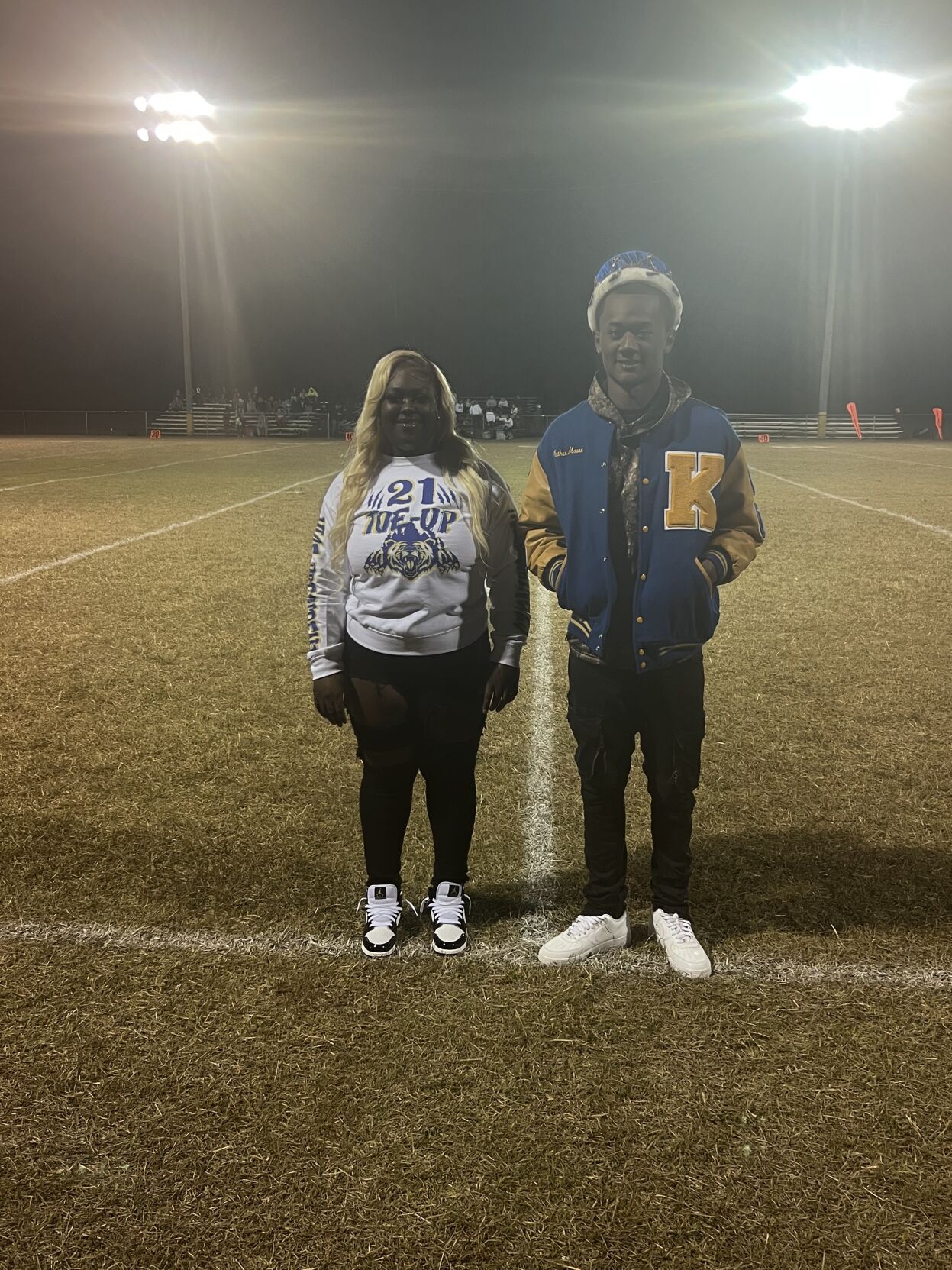
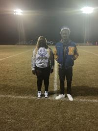
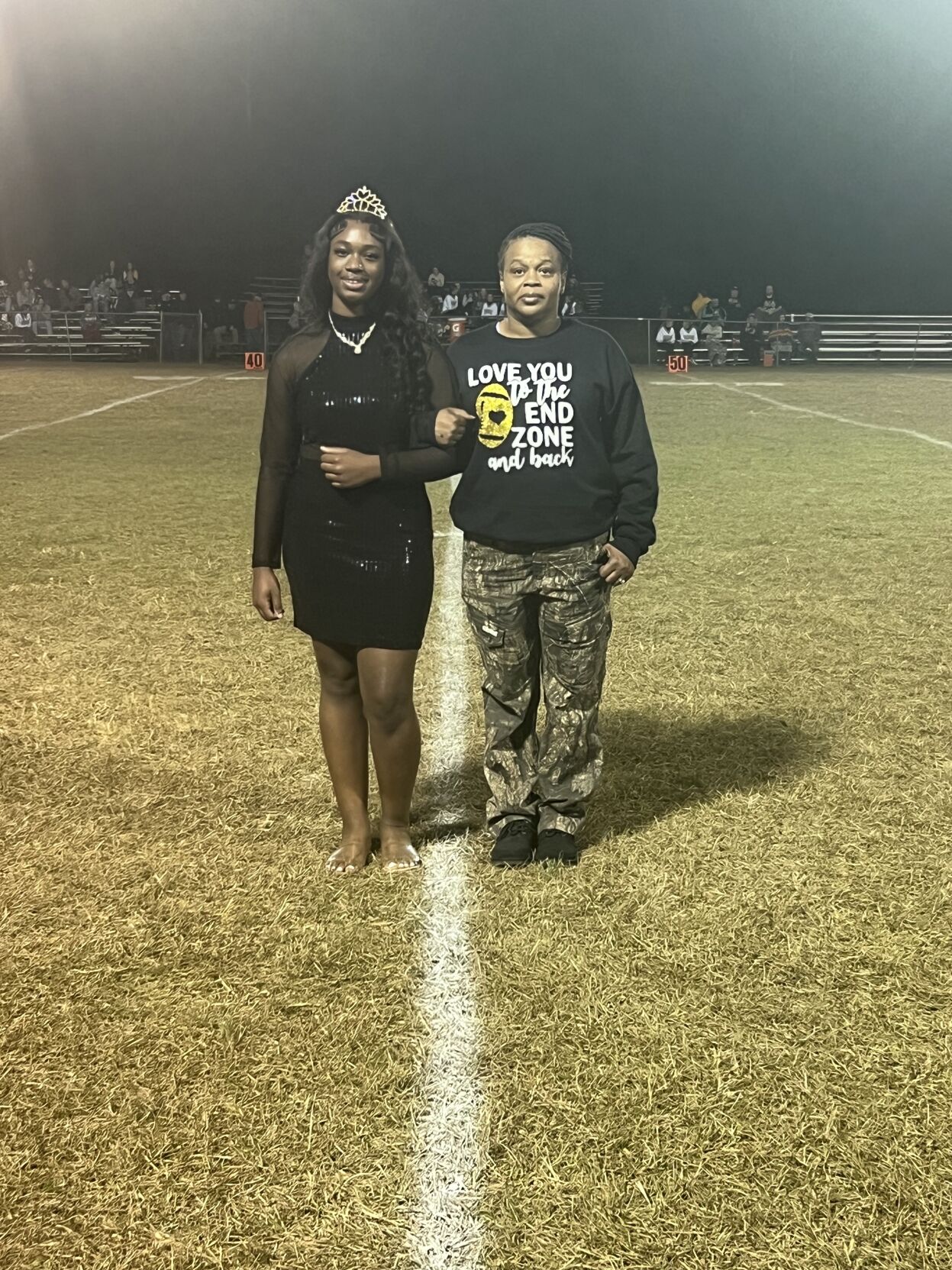
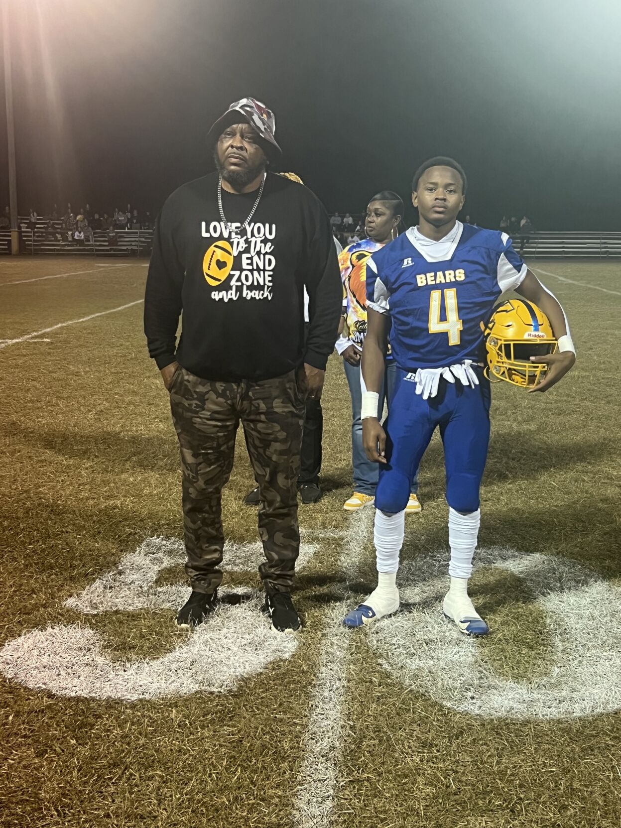
Keith High Bears celebrated their homecoming on Friday night with a huge crowd of alumni and residents.
Aveon Young was named Mr. Keith High School, Killian Kimbrough was named Miss Keith High School and Brooklyn Pettway was named Miss Football.


Keith High Bears celebrated their homecoming on Friday night with a huge crowd of alumni and residents.
Aveon Young was named Mr. Keith High School, Killian Kimbrough was named Miss Keith High School and Brooklyn Pettway was named Miss Football.
...EXTREME COLD WARNING REMAINS IN EFFECT UNTIL NOON CST SUNDAY...
...WIND ADVISORY REMAINS IN EFFECT UNTIL 9 PM CST SATURDAY...

* WHAT...For the Extreme Cold Warning, dangerously cold wind chills
as low as 3 above expected. For the Wind Advisory, northwest winds
15 to 25 mph with gusts up to 40 mph expected.

* WHERE...Autauga, Bibb, Blount, Chilton, Dallas, Etowah, Fayette,
Greene, Hale, Jefferson, Lamar, Lowndes, Marengo, Marion, Perry,
Pickens, Shelby, St. Clair, Sumter, Tuscaloosa, Walker, and
Winston Counties.

* WHEN...For the Extreme Cold Warning, until noon CST Sunday. For
the Wind Advisory, until 9 PM CST Saturday.

* IMPACTS...Gusty winds will blow around unsecured objects. Trees
could be blown down and a few power outages may result. Frostbite
and hypothermia will occur if unprotected skin is exposed to these
temperatures. An extended period of subfreezing temperatures could
cause pipes to burst.

PRECAUTIONARY/PREPAREDNESS ACTIONS...

Winds this strong can make driving difficult, especially for high
profile vehicles. Use extra caution.

Secure outdoor objects.

Dress in layers including a hat, face mask, and gloves if you must
go outside.

Keep pets indoors as much as possible.

Make frequent checks on older family, friends, and neighbors. Ensure
portable heaters are used correctly. Do not use generators or grills
inside.

To prevent freezing and possible bursting of pipes they should be
wrapped, drained, or allowed to drip slowly.

&&
Currently in Selma
Success! An email has been sent to with a link to confirm list signup.
Error! There was an error processing your request.


Sorry, an error occurred.
Already Subscribed!
Cancel anytime
Thank you .
Your account has been registered, and you are now logged in.
Check your email for details.
Submitting this form below will send a message to your email with a link to change your password.
An email message containing instructions on how to reset your password has been sent to the email address listed on your account.
No promotional rates found.
Secure & Encrypted
Thank you.
Your gift purchase was successful! Your purchase was successful, and you are now logged in.
| Rate: | |
| Begins: | |
| Transaction ID: |
A receipt was sent to your email.

(0) comments
Welcome to the discussion.
Log In
Keep it Clean. Please avoid obscene, vulgar, lewd, racist or sexually-oriented language.
PLEASE TURN OFF YOUR CAPS LOCK.
Don't Threaten. Threats of harming another person will not be tolerated.
Be Truthful. Don't knowingly lie about anyone or anything.
Be Nice. No racism, sexism or any sort of -ism that is degrading to another person.
Be Proactive. Use the 'Report' link on each comment to let us know of abusive posts.
Share with Us. We'd love to hear eyewitness accounts, the history behind an article.