

By Dean Murray
A giant plume of Sahara Desert dust is hitting the United States.
The mass is over 2,000 miles wide and 750 miles long, and has reached and is spreading over Florida as of Wednesday (June 4).
The phenomenon is due to a two to 2.5-mile-thick layer of the atmosphere, called the Saharan Air Layer, crossing over the Atlantic Ocean.

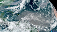
NOAA’s GOES-19 satellite captured this multi-day time-lapse imagery of the dust blowing thousands of miles across the Atlantic from May 28th to June 2. (NOAA/GOES-19 via SWNS)


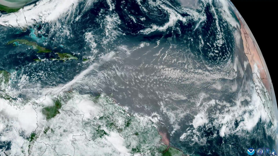
Science agency NOAA has been closely monitoring the event from satellite, capturing detailed images that show the dust stretching from Africa, across the Atlantic, and toward the Caribbean and Florida.
Meteorologists say the dust can lead to hazy skies and vibrant sunsets, but can also temporarily suppress hurricane formation in the Atlantic.

(NOAA/GOES-19 via SWNS)
While most of the dust remains high in the atmosphere, some may reach ground level, affecting air quality in parts of the U.S. Southeast.
NOAA will continue to track the dust cloud as it moves, using satellite data to inform forecasts and keep the public updated.

(0) comments
Welcome to the discussion.
Log In
Keep it Clean. Please avoid obscene, vulgar, lewd, racist or sexually-oriented language.
PLEASE TURN OFF YOUR CAPS LOCK.
Don't Threaten. Threats of harming another person will not be tolerated.
Be Truthful. Don't knowingly lie about anyone or anything.
Be Nice. No racism, sexism or any sort of -ism that is degrading to another person.
Be Proactive. Use the 'Report' link on each comment to let us know of abusive posts.
Share with Us. We'd love to hear eyewitness accounts, the history behind an article.